

Bukit Panjang
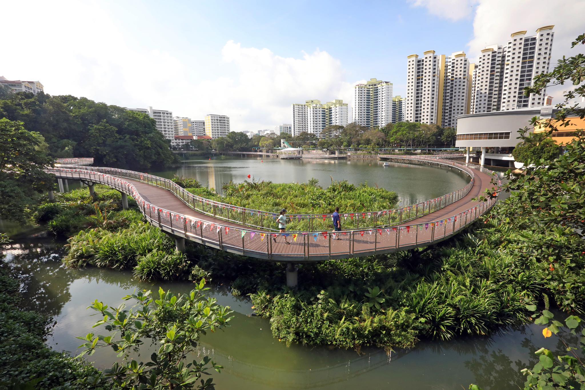
Image: Bukit Panjang Constituency Pang Sua Pond (Credit to: Mr Liang Eng Wah)
Located in the northwest of Singapore, between Bukit Timah Nature Reserve and the Central Water Catchment, Bukit Panjang is a town with a rich history and a vibrant future. Bukit Panjang means ‘long hill’ in Malay, and it describes the range of low hills that stretches south to Bukit Timah.
With its arable land and proximity to granite and rubber, Bukit Panjang was predominantly used for agriculture and industries, such as the Lam Soon Canning and Rubber Factory and the Nanyang Shoe Factory. Zooming in to where Junction 10 stands today, there used to be a mishmash of zinc and brick shophouses that sold a wide variety of items such as Chinese herbs, clothing and hardware. Back then, you could also find a cluster of small villages that comprised a few thousand residents living in a mix of attap and zinc-roofed huts. Known colloquially as “Chap Kor” in Hokkien, or Tenth-Mile, this was Bukit Panjang in the 1950s, before the advent of modern road systems.
Today, Bukit Panjang has transformed into a lively, self-contained residential town with abundant greenery and town amenities. You may still find a hint of its former village roots in Malay road names, such as Fajar (sunrise), Senja (dusk), Petir (thunder) and Gangsa (bronze).
Looking ahead, Bukit Panjang aims to be Singapore’s first “wellness heartland” by providing facilities for a rapidly ageing population. These include a new nursing home, active ageing centres, and more therapeutic gardens for relaxation.
#SGHomeTruly #OurNeighbourhood #BukitPanjang #Singapore
Visit ConnexionSG Facebook and
Instagram
for more content.